|
| *****SWAAG_ID***** | 929 |
| Date Entered | 12/04/2016 |
| Updated on | 24/07/2016 |
| Recorded by | Tim Laurie |
| Category | Photographic Record |
| Record Type | General HER |
| Site Access | Public Access Land |
| Record Date | 04/04/2016 |
| Location | Summer Lodge Tarn |
| Civil Parish | Grinton |
| Brit. National Grid | SD 950 950 |
| Altitude | 525m |
| Geology | Tarn, probably dammed and artificial on Lower Howgate Edge Grit. |
| Record Name | A walk to Summer Lodge Tarn in spring. |
| Record Description | A walk to Summer Lodge Tarn, occupied by several hundred (black headed?) gulls. |
| Image 1 ID | 6755 Click image to enlarge |
| Image 1 Description | The walk starts with a climb above the woodland on Scurvey Scar below the unsurfaced road south of Crackpot Farm | 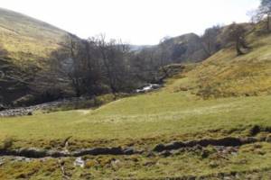 |
| Image 2 ID | 6757 Click image to enlarge |
| Image 2 Description | Crackpot Gill, a different excursion see previous SWAAG Record No | 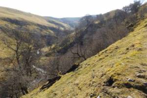 |
| Image 3 ID | 6758 Click image to enlarge |
| Image 3 Description | Summer Lodge Tarn | 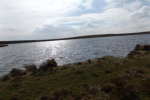 |
| Image 4 ID | 6766 Click image to enlarge |
| Image 4 Description | On arrival at the Tarn several hundred gulls rose from the far shore and spiralled high on a thermal. Black headed gulls once bred on these Pennine tarns in great numbers. Click on image to see the gulls. | 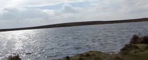 |
| Image 5 ID | 6760 Click image to enlarge |
| Image 5 Description | Summer Lodge Tarn | 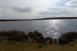 |
| Image 6 ID | 6761 Click image to enlarge |
| Image 6 Description | View from the Tarn to the frost-fractured white chert hillocks above Satron High Walls | 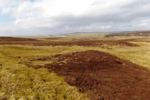 |
| Image 7 ID | 6762 Click image to enlarge |
| Image 7 Description | Woodland above Summer Lodge Farm | 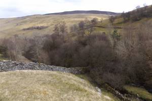 |
| Image 8 ID | 6767 Click image to enlarge |
| Image 8 Description | Burnt mound recognised for the first time on Crackpot Side | 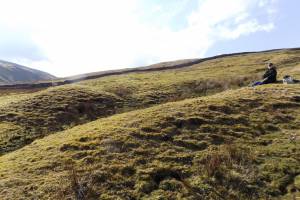 |
| Image 9 ID | 6764 Click image to enlarge |
| Image 9 Description | View over the burnt mound westward towards Bloody Vale | 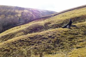 |
| Image 10 ID | 6765 Click image to enlarge |
| Image 10 Description | Return to Summer Lodge Farm | 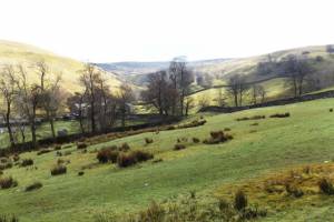 |


